Overcoming Obstacles: Remote Sensing Center Completes Deployment to Isolated Area in Colorado

By Anna Claire Toxey

A group of researchers from The University of Alabama College of Engineering recently completed a critical field deployment to Gothic, Colorado, to conduct leading-edge research on snowpack density in conjunction with the National Oceanic and Atmospheric Administration (NOAA).

Six faculty and student members of the deployment team.

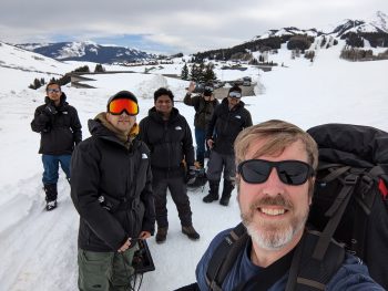
The deployment was a multidisciplinary project between UA’s Remote Sensing Center and nine faculty, undergraduate student, and graduate student researchers from the department of electrical and computer engineering (ECE) and the department of aerospace engineering and mechanics (AEM). The project field team was led by ECE assistant professor Dr. Drew Taylor and AEM assistant professor Dr. Jordan Larson. The team was also comprised of four doctoral students, Shriniwas Kolpuke, Feras Abushakra, Omid Reyhanigalangashi and Deepak Elluru, and three undergraduate student researchers, Aabhash Bhandari, Zac Herring and Isaiah Newell.

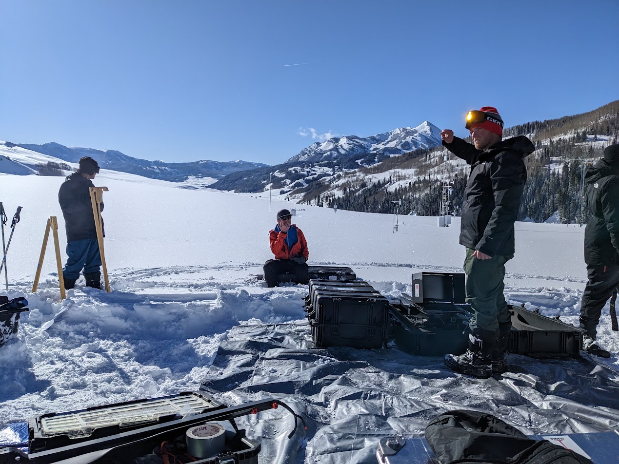
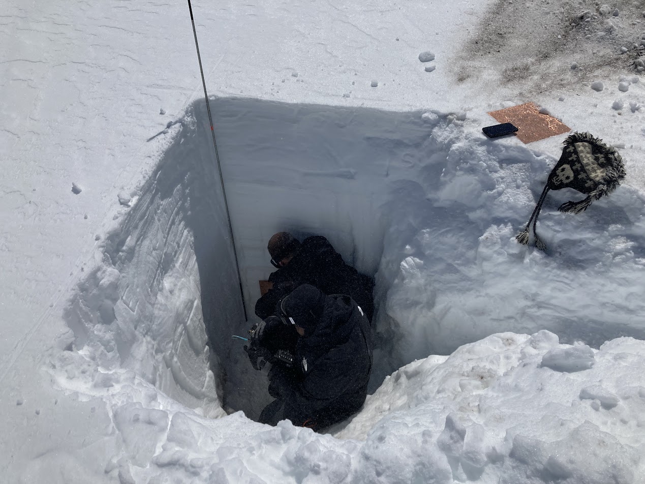
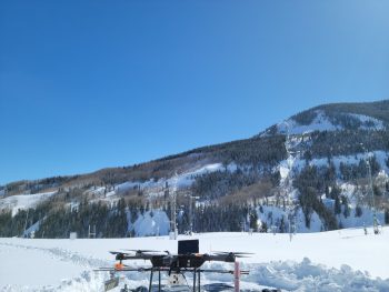
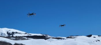
The goal of the deployment was to perform radar measurements over snow at the Kettle Ponds Supersite to estimate snow thickness and map internal layers in the snow. In addition, the researchers sought to analyze Common Midpoint Radar (CMR) data to estimate snow dielectric parameters for determining snow density. To accomplish these goals, the team mobilized two preexisting radars and two small Uncrewed Aircraft Systems (sUAS) platforms.

“This research is vital to fully understanding how much water exists in snowpacks in these mountainous and extreme regions,” Taylor said. “So much of the water of many areas of the United States comes directly from such snowpacks.”

Members of the deployment team transporting their supplies to the Gothic Research Center on sleds.

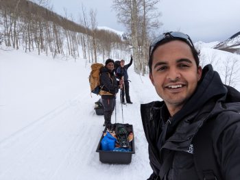
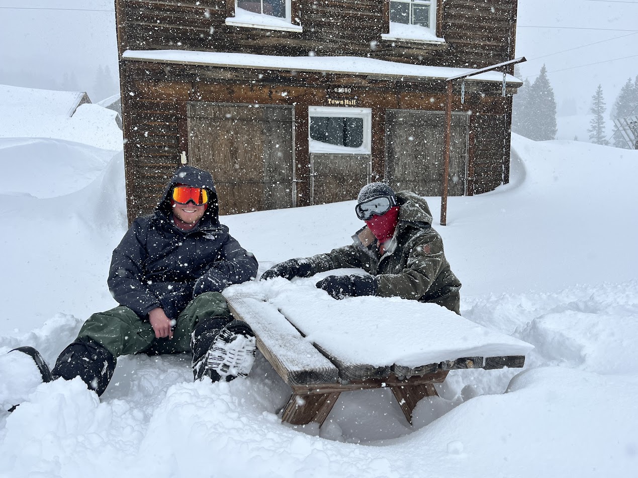
In order to reach the deployment site, the team embarked on a 3.6-mile hike to the Gothic Research Center (GRC) at the Rocky Mountain Biological Laboratory (RMBL), which is located near the Kettle Ponds Supersite. Due to the mechanized vehicle restrictions at the RMBL, the team was required to transport research equipment, supplies and food by sleds, which took more than three hours to complete.

“The hike into Gothic was on a well-used trail, but the 2-mile trail to Kettle Ponds had to be remade after the snowfall while dragging dozens of pounds of equipment at 9,000 feet altitude in cold winter winds,” Larson said. “Luckily, some of us work out regularly so our legs were able to take on some of those hills. Others of us had to rest often. Fortunately, everyone was team-oriented and helped each other. I couldn’t have asked for a better group of guys to work with.”

The team spent several days at the deployment site gathering density measurements and snow depth measurements from the snowfall. With only two days in between heavy snowfalls, they had to work quickly. Both radar systems were tested in the cabin before being carried to the site. They dug out a work area in the snow, tested sUAS platforms, mounted radars and antennas, and dug out snow pits according to carefully made plans. On a deployment such as this, there are bound to be unforeseen issues, but each was quickly addressed and solved by the experienced field team.

A drone on the snow.

Since their return from the deployment, the team has worked diligently to further analyze the collected data. The team and other members of the Remote Sensing Center are currently refining the images obtained in the field and analyzing bistatic radar data to obtain density estimates to produce a snow water equivalent (SWE) map for distribution.

According to Taylor, the data gathered during the deployment and the resulting SWE map will be valuable in addressing water management, which is a universal problem researchers are currently seeking to solve.

“As of now, we have stationary or point measurements made by stations or humans, which can be very dangerous and resource-consuming, or large-scale, low-resolution data from satellites that can serve as overarching estimates of how much water exists in kilometer-scale regions,” Taylor said. “This research proves that we can directly measure snow water equivalent using aerial platforms. With the proper support, this could be operationalized to regional-scale to provide much-needed data as inputs to modeling algorithms. Without these field-data, we’re really just making educated guesses on where our water is and where it is going.”

Two small Uncrewed Aircraft Systems (sUAS) platforms used to perform radar measurements and map internal snow layers.

While the deployment did not come without its share of physical and environmental obstacles for the team, its successful completion is imperative to the future work of the Remote Sensing Center. After creating the SWE map, the team will continue to refine these systems and algorithms while also advancing their work to other sensors and applications.

“The team did outstanding work in collecting data to prove the concept for measuring snow density with an ultra-wideband bistatic radar,” said Dr. Prasad Gogineni, founding director of the Remote Sensing Center and ECE professor. “The radar was developed in less than three weeks because of the delays in getting parts from vendors in time. The results show the quality of the remote sensing program at UA.”

Learn more about The University of Alabama’s Remote Sensing Center

In 1837, The University of Alabama became one of the first five universities in the nation to offer engineering classes. Today, UA’s College of Engineering has more than 5,200 students and more than 170 faculty. In recent years, students in the College have been named USA Today All-USA College Academic Team members, Goldwater, Hollings, Portz, Boren, Mitchell and Truman scholars.


Author: Anna Claire Toxey    /    Posted on: June 29, 2023    /    Posted in:   Featured, Remote Sensing Center, Research